India
oi-Oneindia Staff
Since
the
face-off
between
India
and
China
which
began
in
May
2020,
scores
of
satellite
imagery
have
been
released
which
show
that
Beijing
has
been
ramping
up
infrastructure
along
the
Line
of
Actual
Control.
New
Delhi,
Jan
20:
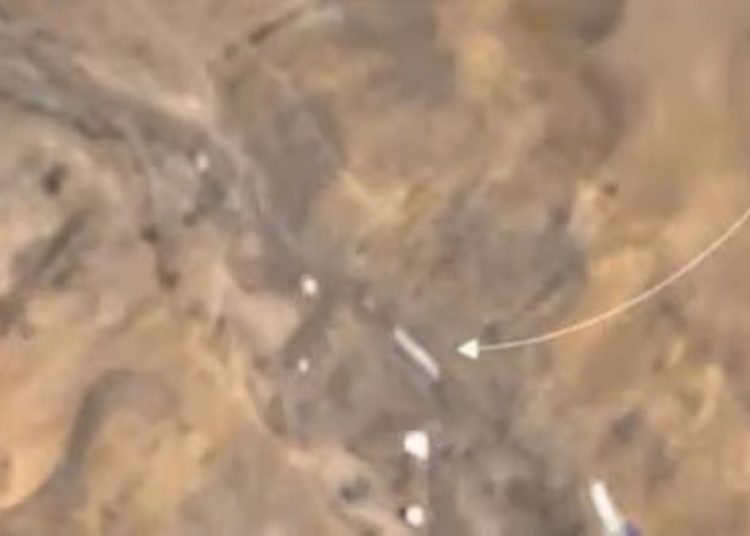
New
satellite
imagery
has
revealed
that
China
is
building
a
new
dam
on
a
tributary
of
the
Ganga,
close
to
the
tri-junction
of
its
borders
with
India
and
Nepal.
This
would
be
used
to
control
the
flow
of
water
downstream,
the
imagery
also
suggested.

The
development
comes
in
the
wake
of
China
unveiling
its
plans
to
build
a
super
dam
close
to
the
Line
of
Actual
Control
(LAC)
in
Tibet
on
the
lower
reaches
of
the
Yarlung
Zangbo
river
which
flows
into
Arunachal
Pradesh
as
the
Shang
and
then
to
Assam
as
the
Brahmaputra.
China
has
also
ramped
up
the
creation
of
military
and
dual
use
infrastructure
and
villages
in
the
eastern
and
western
sectors
of
the


