
Two senior government functionaries said the task has been given to the North Eastern Space Application Centre
The Centre has decided to demarcate boundaries of the Northeastern states through satellite imaging to settle inter-state border disputes that are often becoming a cause of concern and sometimes even leading to violence.
Two senior government functionaries said the task has been given to the North Eastern Space Application Centre (NESAC), a joint initiative of the Department of Space (DoS) and the North Eastern Council (NEC).
The NESAC helps augment the developmental process in the Northeast region by providing advanced space technology support.
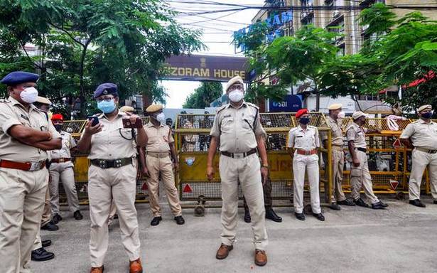
The inter-state border disputes have come under fresh focus recently after five Assam Police personnel and a civilian were killed in clashes along the Assam-Mizoram border.
The idea for demarcation of inter-state boundaries through satellite imaging was mooted by Union Home Minister Amit Shah a few months ago.
Shah had suggested…