
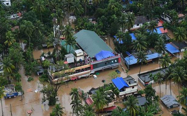
The Kerala rains of July-August 2018 caused substantial loss of lives and property and left major cities flooded for days.
Maps showing where flooding may occur or flood inundation maps can help in better flood risk preparedness. Using openly accessible satellite data and a cloud computing platform, an international team has now developed a powerful tool for a near real-time mapping of flood extent. The paper published in PLOS ONE notes the new flood inundation maps showed an accuracy of over 94%. Space-based sensors known as synthetic aperture radar (SAR) have been used widely for monitoring and mapping of flood-water inundation. SAR is capable of acquiring data in all-weather condition, making it useful for mapping and monitoring flood inundation areas.
Copernicus programme
These sensors operate on the constellation of two SAR satellites belonging to the Copernicus Programme…