
Maps play a vital role in defining national borders. Before independence, India included Pakistan and Bangladesh (then East Pakistan). Post-independence, these regions became three separate nations.
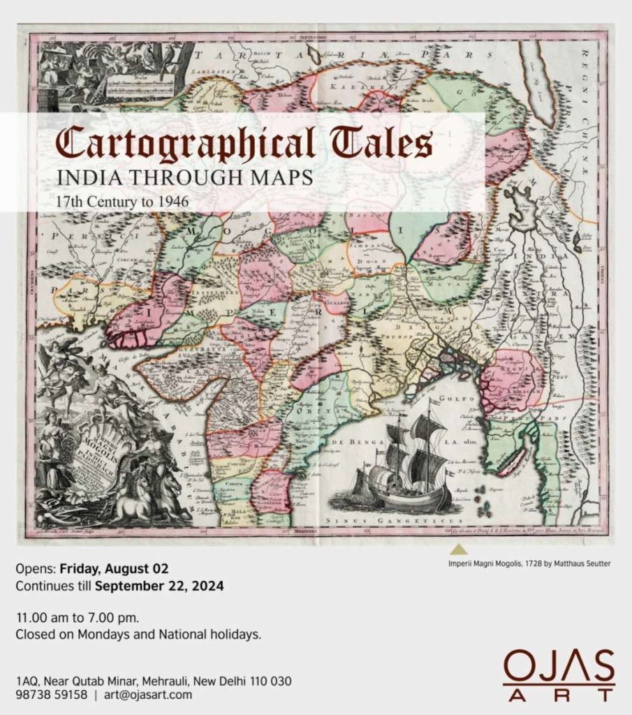
In recognition of India’s 78th year of independence, maps by prominent cartographers like Seutter, Rennell, Mortier, Lapie, Bonne, and Tallis will be exhibited. Each map tells a unique story, highlighting the shifting boundaries over the centuries. These maps, printed in England, France, Italy, and the USA, provide insight into the subcontinent’s historical geography. Every map recounts a story that traces back through history.
“The exhibition features cartographic works spanning 350 years. The display is not chronological, so two adjacent works might be separated by two or even three centuries,” stated Anubhav Nath, Director, Ojas Art.
Cartography, the art of depicting geographical areas, peaked in the 17th-19th centuries as explorers charted new territories and accurately marked…